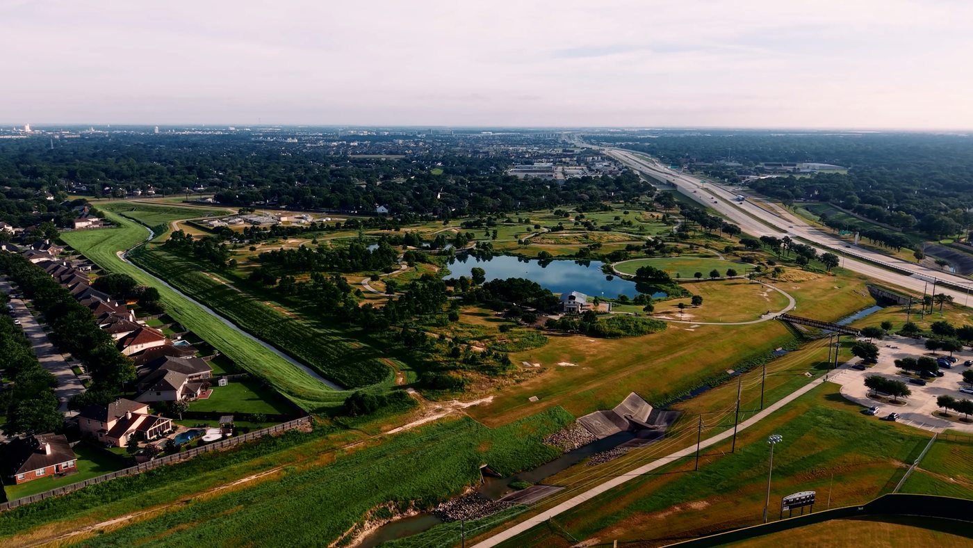
Common questions about drone work.
Are you FAA Part 107 certified?
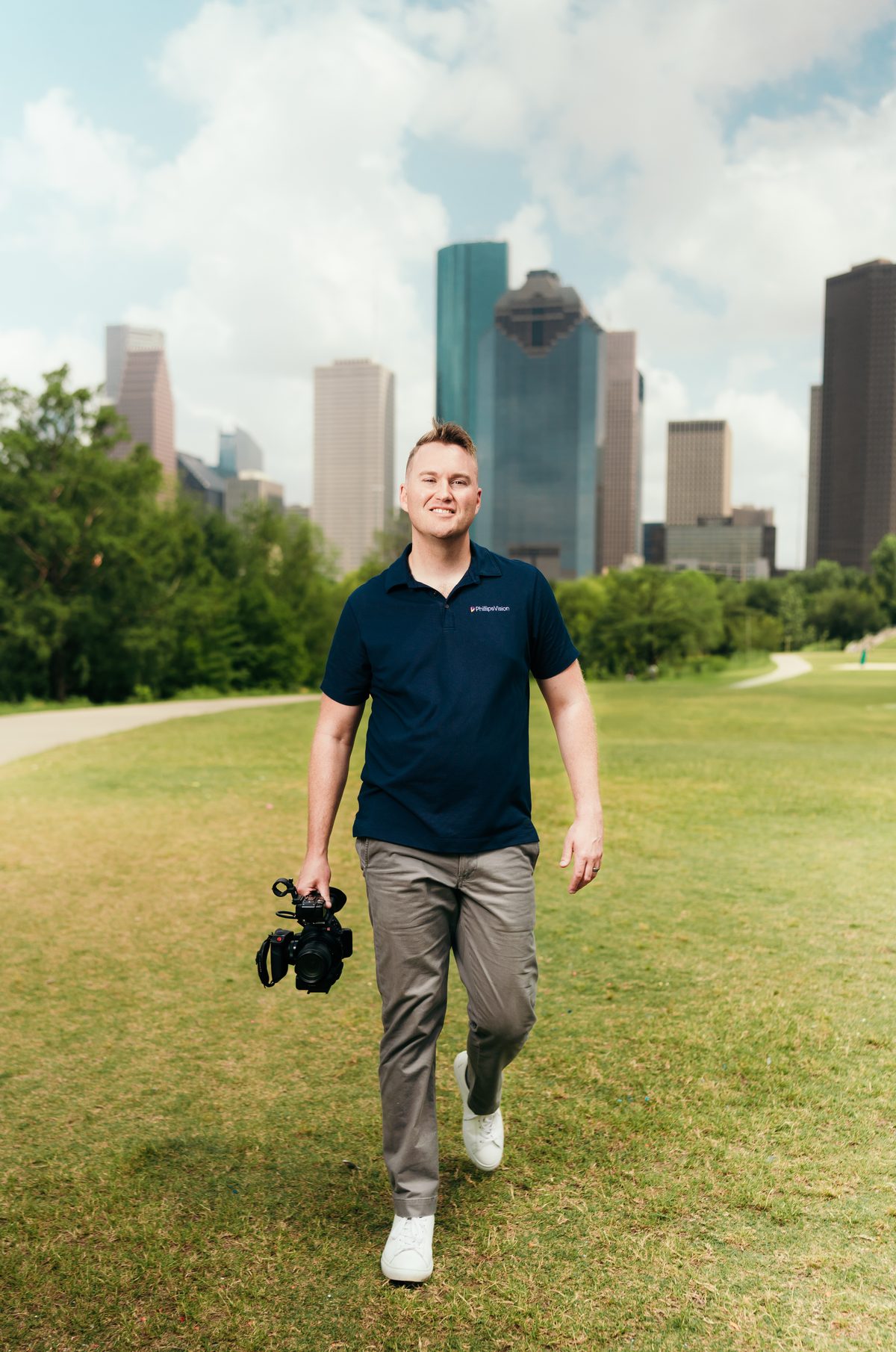
Yes. Travis holds an FAA Part 107 Remote Pilot
Certificate and the aircraft is registered with the FAA. Any
drone work you pay for is commercial operation, and commercial
operation legally requires that certificate — a hobby pilot
flying your listing is not a licensed operator, whatever the
footage looks like.
Do you fly real estate listings?
Yes — aerial stills and video for residential and
commercial listings: the exterior and roofline, lot lines and
acreage, amenities, and the neighborhood context a ground photo
can't show. Delivered in listing-ready sizes alongside anything
else we shoot that day.
Can you fly in controlled airspace
near Houston airports?
Often, yes. Much of west Houston and Fort Bend
County sits under controlled airspace shelves. Where a property
does, we request authorization through LAANC before the flight
rather than launching and hoping. Where a location can't be
authorized, we tell you before you book instead of after.
What does drone coverage cost?
Every flight gets a written quote before you
commit — a single listing is a different job than a
construction site documented monthly, and the price should say
so. A deposit holds your date; the balance is due when the
finished files land, by card, Zelle, or Cash App.
Does a real estate agent need an FAA
license to fly a drone for a listing?
Yes. Any flight that supports a business —
including an agent photographing their own listing — is a
commercial operation under FAA rules and requires a Part 107
Remote Pilot Certificate, even if nobody is paid for the
flight itself. It's one of the most misunderstood rules in
real estate marketing, and most brokerage risk policies
already know it. Hiring a certified pilot closes that exposure
for a fraction of what it costs to carry it.
Do you do drone roof inspections or
thermal imaging?
No — and it's worth knowing why. Inspection work
takes thermal sensors and inspection-grade reporting our
aircraft doesn't carry, and we won't sell you the wrong
flight. What we do photograph is how a roofline presents —
as part of a listing or property shoot — which is marketing,
not an inspector's certification. If you need the inspection
kind, we'll tell you up front, for free.
Can you do drone mapping, surveys,
or orthomosaics?
Not the survey-grade kind. Boundary lines,
elevations, and measurements belong to RTK-equipped aircraft
and licensed surveyors, and we won't dress a video drone up as
one. What we deliver is visual documentation — construction
progress on a repeatable schedule, acreage and lot context for
listings, and site overviews an investor can read at a
glance.
Will you fly over a crowd or an
event?
Beside a crowd, yes — directly over one, no.
That's the FAA's line for our aircraft, and we fly on the
right side of it. The best aerials are shot from off to the
side anyway. We can tell your story properly — compelling
visuals, compliant measures.
What happens if the weather doesn't
cooperate?
We reschedule rather than hand you footage the
wind ruined. Gulf Coast weather is real — we watch the
forecast ahead of your date, make the call as early as we can,
and fly when conditions will let the property look its best.
A listing gets one first impression; we don't spend it on a
gray, gusty day.
Where do you fly?
Katy,
Cinco Ranch, Fulshear,
and across Fort Bend County —
Sugar Land,
Missouri
City, Richmond,
Rosenberg, and
Stafford — plus
greater Houston.
If your property is outside that ring, ask; travel is usually
workable.